


THE concept of the ‘20-minute neighbourhood’ is all about providing important local amenities within a short distance from where people live.
And, clearly, that requires relatively dense housing. Four-storey apartment blocks hugging narrow, intimate streets - anyone?
Back in 2021, the Royal Town Planning Institute was recommending (here) 65 homes per hectare, a figure that has been often referenced since (including here and here). And there is no reason to believe that this position has changed.
To get a sense of what 65 dwellings per hectare might look like, there is a handy set of examples compiled (here) by the now-closed Manchester design practice, Urbed.
Under the heading, ‘low density’ (ie 40-50 dwellings per hectare), cited as examples are Water Colour (Redhill, Surrey), Selwyn Street (Oldham, Greater Manchester), Trafalgar Street (Rochdale, Greater Manchester), Donnybrook Quarter (London), and Chimney Port Park (Salford, Greater Manchester).
Meanwhile, under ‘medium density’ (65-75 dwellings per hectare): West Side Street Housing (London), Sharrow Point, Cemetery Road (Sheffield), Temple Quay (Bristol) and Western Harbour (Malmo, Sweden)
And in the high density section (120-160 dwellings per hectare): New England Quarter (Brighton, East Sussex) and Hammerby Sjöstad (Stockholm, Sweden).
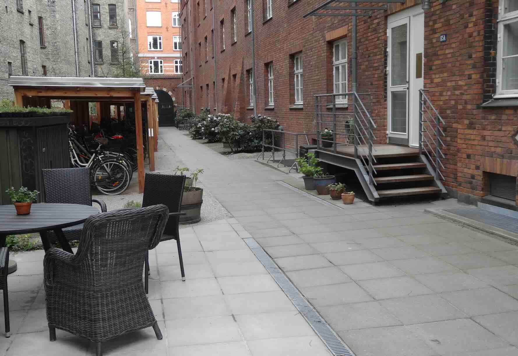
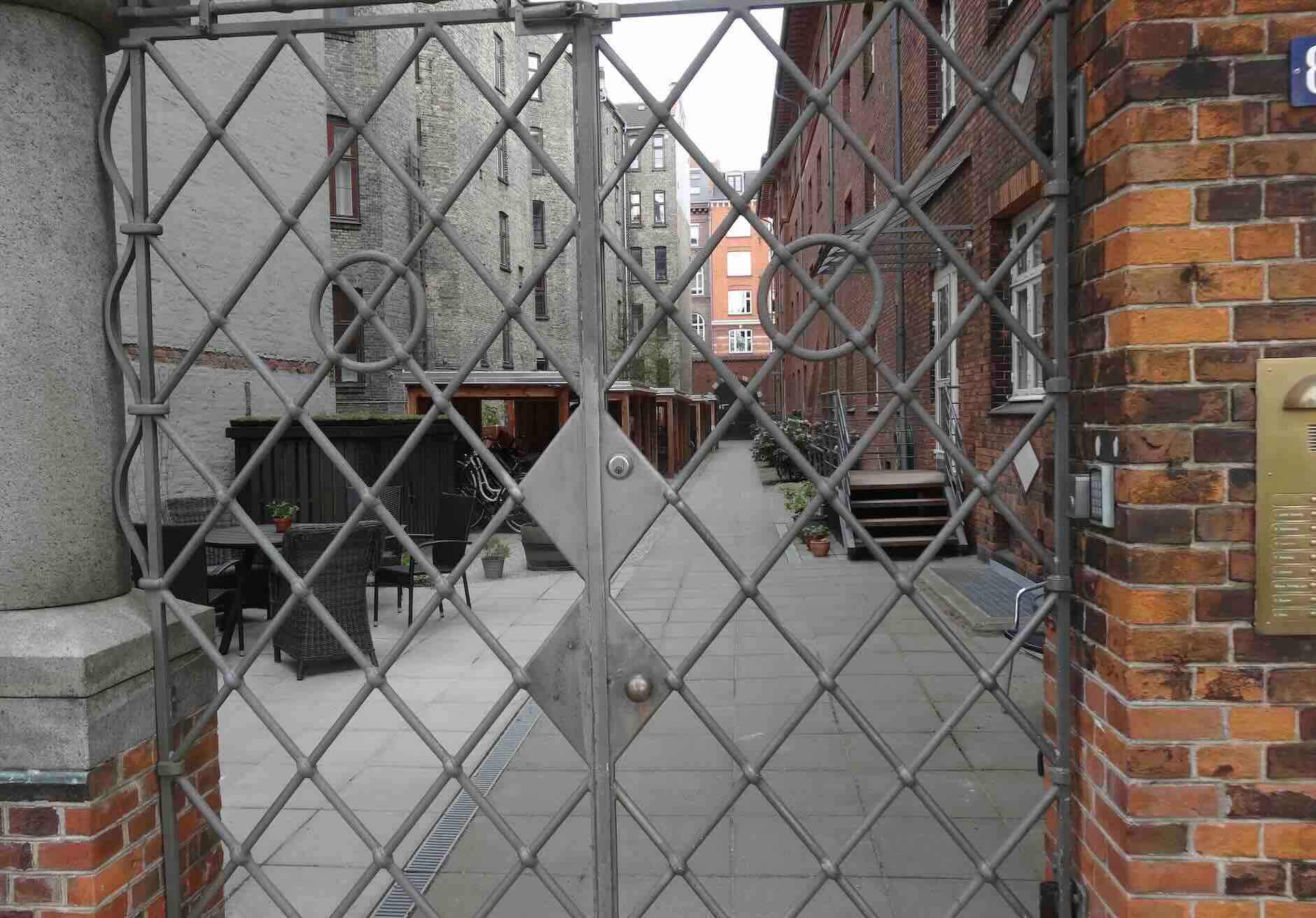
Image details: Copenhagen, Denmark, apartment block, set 90 degrees to the pavement and guarded by a buzzer-controlled gate; copyright: Mike Wilson